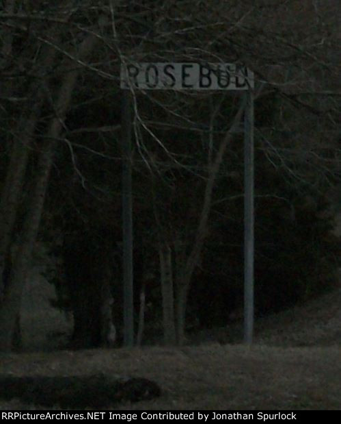
| I've seen signs like this one at several places along the former St Louis sub. This one was located near the site of the old Rosebud depot, apparently, even after the depot was removed years ago. Hardly a trace of even a foundation remains at "Depot Avenue" in Rosebud. The tracks were a block north of US Highway 50, the main road through this part of Missouri. Date of photo: 2-07-2016, and the photo looks east. The sun was setting, hence this somewhat darker background. |
| Date:
2/7/2016 |
Location:
Rosebud, MO Map  |
Views:
44 |
Collection Of:
  Rev. Jonathan Spurlock
 |
|
Author: Jonathan Spurlock
|
 |
| Picture Categories: Scenic,Winter,Track |
This picture is part of album: Former Rock Island right-of-way |