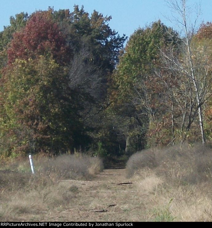
| My digital camera did a good job of showing the right of way a good distance from where I was standing. That looks like a crossing of some kind, near the middle of the photo, near the white pole, but I don't know if it's former Katy roadbed (Katy used to run through Windsor, too) or a road of some kind. |
| Date:
10/26/2014 |
Location:
Windsor, MO Map  |
Views:
84 |
Collection Of:
  Rev. Jonathan Spurlock
 |
|
Author: Jonathan Spurlock
|
 |
| Picture Categories: Scenic |
This picture is part of album: Former Rock Island right-of-way |